


Ag Tech News: Mavrx Opens Satellite Platform to Entire U.S. Farm Economy

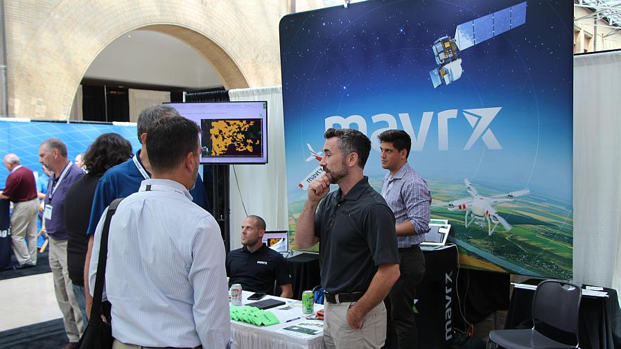
Mavrx booth at InfoAg 2017, Union Station Hotel, St. Louis, MO.
The team at San Francisco, CA-based Mavrx has announced an initiative to increase access to advanced decision support tools in agriculture by opening it’s platform, free-of-charge, to the entire U.S. farm economy.
“The Mavrx team and I are very excited to be opening our platform to the farm economy,” says CEO Max Bruner in a statement he texted to PrecisionAg® Professional moments before boarding a flight.
Bruner says that in the immediate aftermath of soft launching this open access plan “with existing partners and customers” the outfit has already “doubled the unique acres that we will monitor in 2018 to 31 million, digitally connecting stakeholders from crop insurers, banks, ag retailers, and trusted advisors to the farm gate.”
“Our goal,” Bruner says in closing. “Is to globally connect farmers to the ecosystem they need to achieve the highest yields and returns possible. We think this connection and choice will enhance farm services and the access farms have to uniquely tailored products that fit their crop production goals.”
MORE BY MATTHEW J. GRASSI
VISION Conference Preview: Someday, AI Might Grow Better Plants than People
2019 Commercial UAV Expo: 3 Quick Revelations From an Ag Drone Expert
Specialty Crops: 8 More Precision Technology Companies We’re Keeping an Eye On


From the official Mavrx press release:
Mavrx announced it is opening up its proprietary satellite-powered agricultural management platform to all members of the farm economy, empowering all agriculture stakeholders to bring cutting-edge technology to their fields at no cost.
Over four years, Mavrx has built a platform that enables farm managers to optimize operations through a bird’s eye look at yield, planting, and equipment application data that incorporates in-season and historical satellite information. Mavrx is now the largest aerial imagery and analytics provider in agriculture, monitoring over 14 million acres. The company provides yield enhancing services to 30 different major crops — including corn, soybeans, wheat, cotton, sugarcane, and potatoes — in farmland across the U.S., Canada, Brazil, South Africa, Russia, Australia, New Zealand, and Argentina.
The following tools are now available to all Mavrx users at no cost:
- Satellite imaging
- Daily satellite based crop health tracking
- Management zone creation and prescription writing integrated with John Deere, SST, EFC, and other industry leaders
- Mavrx Scout Mobile app (iOS and Android) for scouting, tissue and soil sampling- with reporting and lab integration
Those seeking more granular field information will still be able to purchase premium aerial imaging services through Mavrx, leveraging the world’s largest manned aircraft imagery network.
“This is a momentous step forward in our journey toward creating a more secure and flexible agricultural economy,” said Mavrx CEO Max Bruner. “By removing barriers to entry, we can expand platform access to those who can benefit, while rapidly increasing our technological capabilities and coverage. Ultimately, we will be able to offer affordable yield-enhancing services to every acre of agriculture in the world.”
Subscribe Today For
