


Satellite Data Brings Farming Advice to Remote Areas of Zimbabwe
Deep in rural western Zimbabwe, where tarred roads are nonexistent, Japhet Ngwenya used to spend every season worrying that the people who advise him on how to protect his crops from dry spells and pest invasions would not be able to reach him, writes Marko Phiri at Reuters.
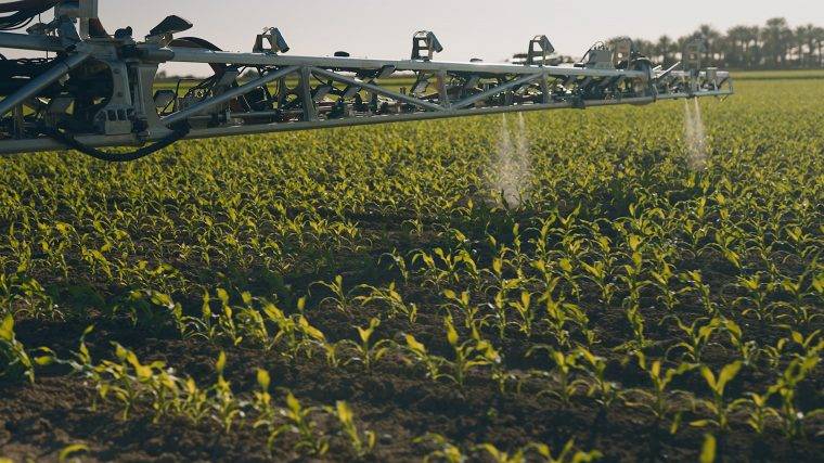
Ngwenya’s farm — in Ntabazinduna, 40 kilometers (24 miles) north of Bulawayo — is so remote that he can go a year or more without seeing the agriculture extension officers who are sent by local charities to assist small-scale farmers like him. “It has always been difficult to get expert advice. There are no proper access roads here and you drive this far at your car’s peril,” he told the Thomson Reuters Foundation as he readied his fields for a crop of maize, tomatoes and cabbages.
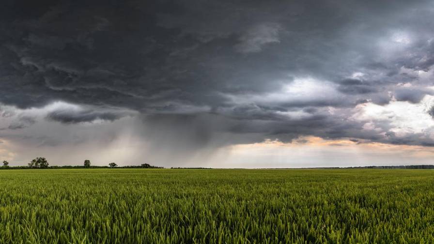
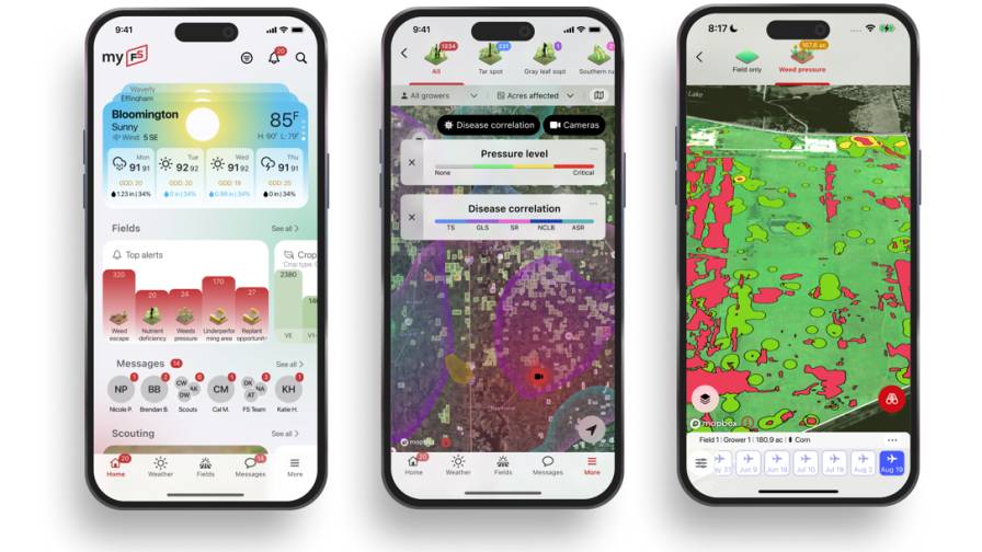
Then, last year, two extension officers from the consortium Turning Matabeleland Green (TMG) managed to make their way to Ngwenya’s farm to show him their solution: climate and crop information collected by satellite and sent to farmers’ phones. Zimbabwe has been slow to embrace satellite-based systems for its agricultural sector, but now the country is seeing the benefits of using the technology to help farmers adapt to the impact of climate change, agricultural experts say.
MORE BY REUTERS
CNH Sees Revenues Rising to 2024 As New Plan Focuses on Precision Agriculture


Subscribe Today For
