


North America: EOS Launches Satellite Monitoring Technology Boosting Farm Efficiency Up to 20%
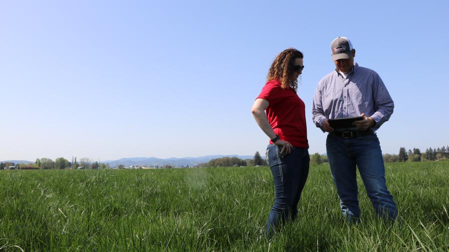
EOS Earth Observing System, a leading retailer for remote sensing satellite data, has launched its digital agri platform — EOS Crop Monitoring — for the North American market, according to a release at PR Newswire. It combines AI, satellite vegetation images and weather data to deliver comprehensive information on any farmlands. Depending on territorial layout of the landbank, the cost advantage of this technology together with the entire suite of precision agriculture can vary between 5%-20%. The platform enables farmers, insurers, traders and other subject matter experts to use satellite imagery for the benefit of their business.
“Agriculture has never been easy, but the farming conditions are becoming more and more complicated,” says Alexander Sakal, CSO of EOS Crop Monitoring. “The global resources are stretched while the population is growing. This is why implementing technology-based solutions is crucially important. We want to help agri entrepreneurs from all around the world to achieve better results by wasting less, getting more, and becoming more sustainable in general. Basically, we suggest a set of tools to benefit everyone — the user, the consumer and the planet.”
The platform aggregates satellite images captured by the main satellite missions of today, processes large amounts of information through AI-driven algorithms and presents the results via a robust UI. It utilizes normalized difference vegetation index (NDVI) and many more including ReCl, NDRE, CCCl, and MSAVI.
Continue reading at PR Newswire.
MORE BY PR NEWSWIRE
How AWS and Ever.Ag Are Accelerating AI-Enhanced Crop Management and Sustainability
FloraPulse Introduces a Real-Time Water Monitoring System That Reduces Water Stress, Labor Costs


Subscribe Today For
